Drones 101
Welcome to the Drone 101 course!
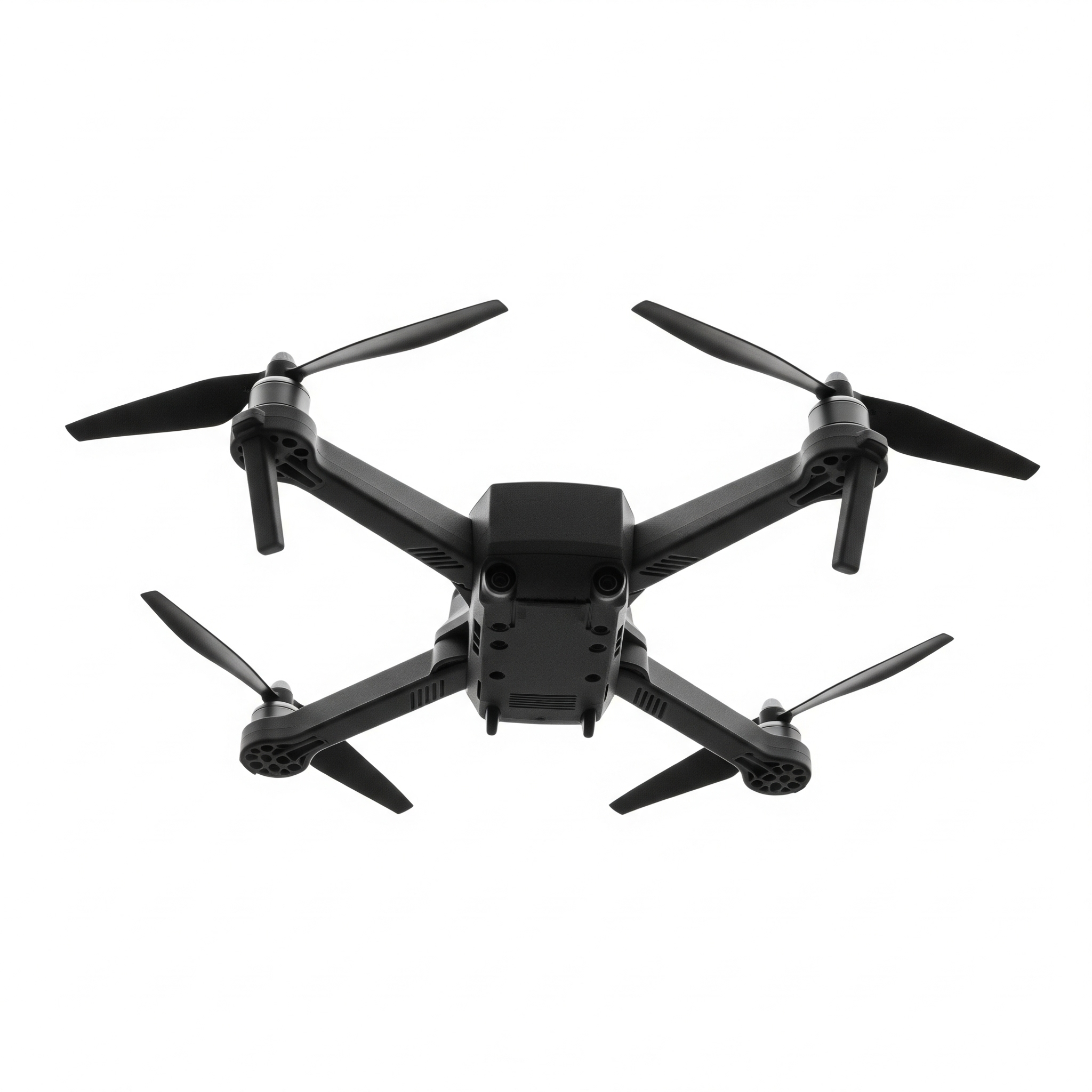
This course is an introductions to drones and all that they are capable of. In the middle of this page you will see some block codes. This is where you will find different blocks that will control your drone to the right. As you learn more about drones you will have challenges that reflect what drones can do in real life. Complete the challenges to move on to the next lesson.
The following course topics highlight what industries are using drones:
- Agriculture: Farmers use drones to monitor crop health, assess irrigation needs, and apply pesticides or fertilizers with greater precision, a practice known as precision agriculture. The data collected helps optimize yields and reduce resource waste.
- Construction: In construction, drones are used for site surveys, creating 3D models of projects, and tracking progress from a bird's-eye view. This helps with project planning, managing resources, and improving safety by inspecting hard-to-reach areas.
- Real Estate: Real estate agents use drones to capture stunning aerial photos and videos of properties, showcasing the entire landscape and its proximity to surrounding amenities. This provides potential buyers with a more complete and dynamic view of a listing.
- Filmmaking: Drones have revolutionized cinematography by offering filmmakers a way to capture dramatic aerial shots that were once only possible with expensive cranes or helicopters. They provide a cost-effective and flexible way to get dynamic, sweeping shots.
- Public Safety: Public safety agencies like law enforcement and fire departments use drones for a variety of tasks, including search and rescue operations, accident reconstruction, and monitoring large crowds. Drones with thermal cameras can locate missing persons in difficult terrain or at night.
- Surveying and Mapping: Drones are a fast and accurate way to conduct land surveys and create detailed maps and 3D models of an area. They can collect data for a fraction of the time and cost of traditional surveying methods, making them ideal for large-scale projects.
- Energy and Utilities: Drones are essential for inspecting infrastructure such as power lines, wind turbines, and solar panels, as they can quickly identify potential issues without putting human workers in danger. This allows for more frequent and safer inspections, leading to improved maintenance and reliability.
- Logistics and Delivery: Companies are exploring drone technology for the last-mile delivery of goods, especially in rural or hard-to-reach areas. Drones can deliver small packages quickly and efficiently, reducing traffic congestion and emissions.
- Journalism: Journalists use drones to cover breaking news from a unique perspective, capturing aerial footage of events like protests, natural disasters, or large gatherings. This provides a safe way to report on dangerous or inaccessible situations.
- Environmental Conservation: Drones are used in environmental conservation to monitor wildlife populations, track illegal poaching, and survey hard-to-access habitats. They help scientists collect data and protect vulnerable species without disturbing them.
In this application, you will use Blockly, a visual programming language, to create sequences of commands for a simulated drone. Watch the simulation to see your code in action! Feel free to play around with coding the drone and see what it is capable of.
Code Your Drone
Drone Simulation