The Role of Drones in Surveying and Mapping
Drones are used in surveying and mapping as a quick, cost-effective, and safe alternative to traditional methods. They are equipped with high-resolution cameras, LiDAR sensors, and multispectral sensors to collect vast amounts of data. This data is then processed with specialized software to create detailed maps, 3D models, and volumetric calculations.
Benefits of Drone Surveying 🗺️
- Increased Speed: Drones can survey large areas in minutes or hours, a task that could take a ground-based team days or weeks to complete.
- Reduced Cost: Faster data collection and less manpower translate to significant cost savings.
- Enhanced Safety: Drones can access and map dangerous or inaccessible areas like steep cliffs, active construction sites, and hazardous terrain, keeping human surveyors out of harm's way.
- High Accuracy: When combined with technologies like GPS, Real-Time Kinematic (RTK), and Ground Control Points (GCPs), drones can achieve centimeter-level accuracy.
- Versatility: The collected data can be used for a wide range of applications across various industries, including construction, agriculture, mining, and urban planning.
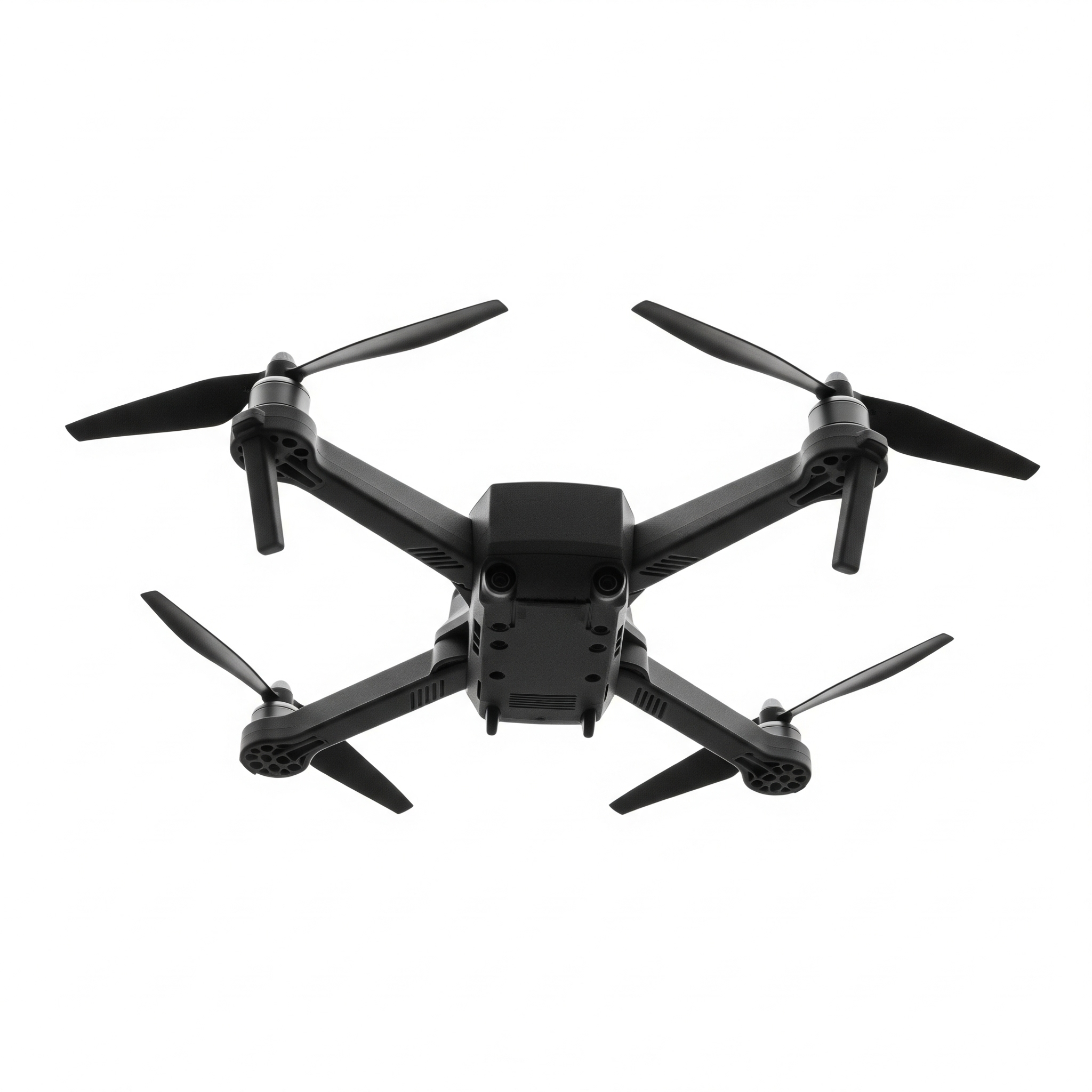
- Multi-Rotor Drones: These are the most common for surveying due to their ability to take off and land vertically and hover in place. They are ideal for smaller sites and areas that require detailed, close-range inspection. Examples include the DJI Phantom 4 RTK and DJI Matrice series.
- Fixed-Wing Drones: Resembling small airplanes, these drones are better suited for large, long-range projects as they are more energy-efficient and can cover vast areas in a single flight. They cannot hover and require a designated landing area. Examples include the senseFly eBee X and WingtraOne GEN II.
- Hybrid VTOL Drones: These drones combine the best features of both multi-rotor and fixed-wing designs, offering the efficiency of a fixed-wing with the vertical take-off and landing capabilities of a multi-rotor.
Drones vs. Traditional Surveying 🚁➡️🚶
While traditional surveying methods with tools like total stations and GPS receivers are highly accurate for small-scale projects and legal boundary work, drones offer a clear advantage in terms of speed, safety, and cost-efficiency for large or complex sites. Drone surveying also produces highly visual and easily shareable digital datasets, such as 3D models and orthomosaic maps, which facilitate better communication and project management.
Types of Drones for Surveying 🛰️
There are three main types of drones used for surveying:
Challenge: Map the Area
Your mission is to map the area.
Your Goal: Guide the drones to map the area by flying through all of the "x" survey points. Avoid any obstacles and make it to the "H" landing spot. Each square will give you one survey point. Once you have surveyed all spots then land at the target location. Some obstacles you can fly over if they are under 300 feet.
Code Your Drone
Drone Simulation