The Role of Drones in Real Estate
Drone photography is a powerful tool for real estate agents, offering a fresh, dynamic perspective that can significantly boost property listings. Here's a breakdown of how drones are used and the benefits they provide:
How Drones Are Used in Real Estate
- Aerial Photography and Video: Drones capture stunning aerial photos and cinematic video tours that showcase a property's full scope, including its layout, landscaping, and proximity to surrounding amenities like parks, lakes, or golf courses. This provides a more complete view than traditional ground-level photography.
- Highlighting Unique Features: They can be used to emphasize specific property features that are difficult to capture otherwise, such as a luxurious pool area, intricate garden designs, or the condition of the roof and gutters.
- 360-Degree Panoramas and Virtual Tours: Drones can capture overlapping images to create high-resolution, interactive 360-degree panoramas and 3D virtual tours, allowing potential buyers to explore the property and its surroundings remotely.
- Showcasing Land and Commercial Properties: For large estates, farms, or commercial lots, drones are essential for visualizing the entire property and its boundaries, as well as showing access points, traffic flow, and nearby infrastructure.
- Increased Sales Potential: Studies show that real estate listings with aerial shots are more likely to sell and can attract more attention from potential buyers.
- Competitive Advantage: Utilizing drone technology positions an agent as innovative and tech-savvy, helping them stand out in a competitive market and attract more sellers.
- Enhanced Storytelling: Drones enable agents to create engaging narratives and video tours that build an emotional connection with prospective buyers, making the property more memorable.
- Cost-Effective: Drones provide a much more accessible and affordable way to get aerial footage compared to hiring a helicopter or plane.
- FAA Certification: Anyone using a drone for commercial purposes, including real estate, must obtain a Remote Pilot Certificate (Part 107) from the Federal Aviation Administration (FAA). This requires passing an exam.
- Drone Registration: Commercial drones must be registered with the FAA.
- Flight Rules: Operators must follow specific rules, such as flying within their visual line of sight, below 400 feet, during daylight hours, and avoiding restricted airspace.
- Privacy: It is crucial to get permission from property owners before flying over their land and to be mindful of neighboring properties to avoid privacy concerns.
The Benefits of Using Drones
Regulations and Best Practices
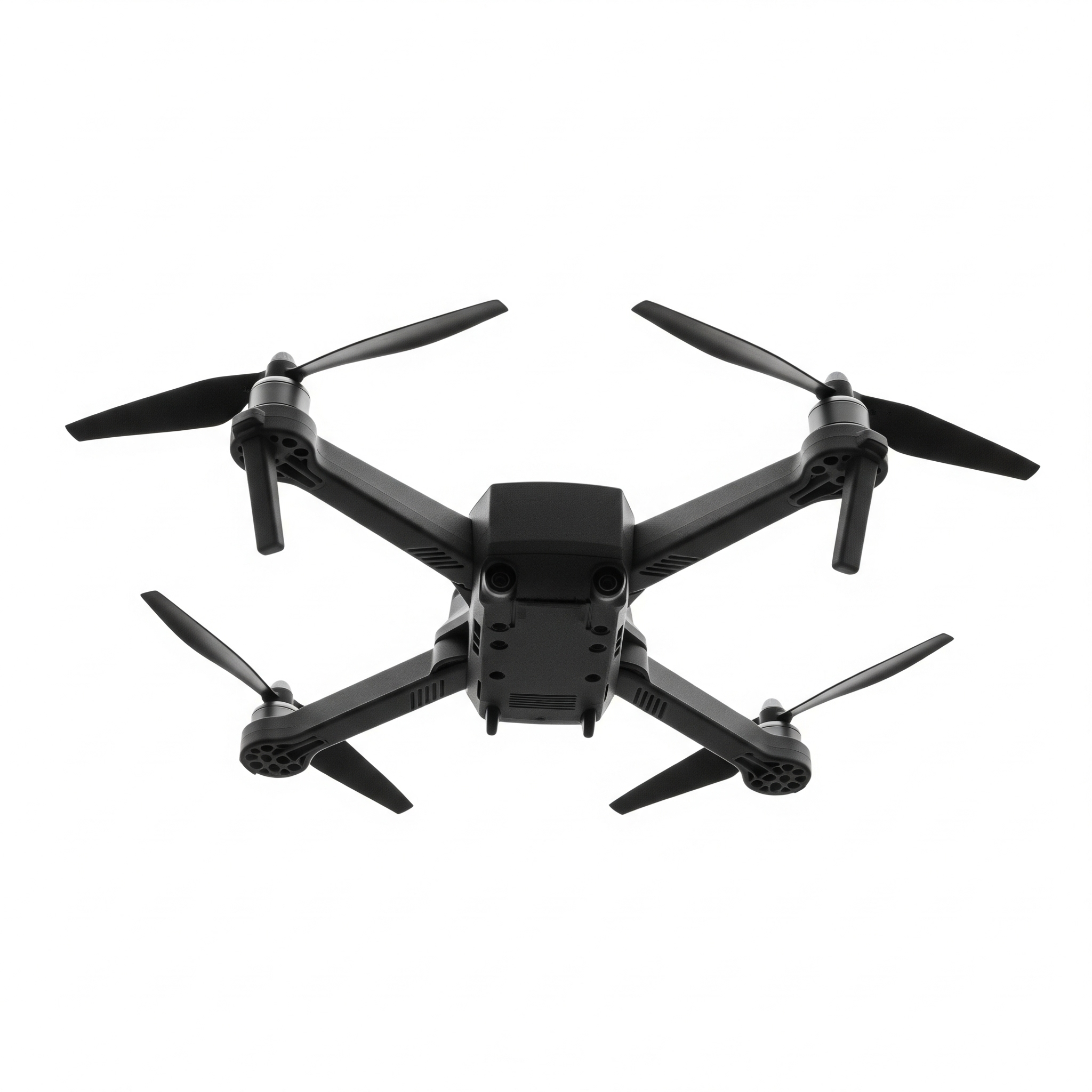
Recommended Drones for Real Estate Photography
While many drones can be used, popular models for real estate professionals often feature high-quality cameras, stable gimbals, and obstacle avoidance technology. Some of the most highly-rated options include the DJI Mini 4 Pro, DJI Mavic 3 Classic, and the Autel EVO Lite+.
Challenge: Ariel Photography
Your mission is to take the real estate photos from the designated spots while keeping the drone safe.
Your Goal: Guide the drone to the "x" spots marked for photography. Avoid the obstacles and make it back to the "H" landing zone. Each "x" square will give you one survey point. Once you have surveyed all spots then land at the target location. Some obstacles you can fly over if they are under 300 feet.
Code Your Drone
Drone Simulation